
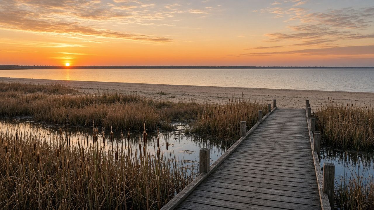
Northwest Ohio field guide
Lake, savanna and river country, one road at a time
NWO Society is a plain-spoken guide to the corner of Ohio that was once the Great Black Swamp: the shallow end of Lake Erie, the sand ridges of the Oak Openings and the river and canal towns along the Maumee.
Start at the lake shoreThree routes through the region
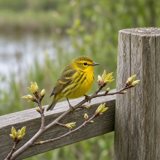 Route 1
Lake Erie Shore
Marsh boardwalks, the islands, lighthouses and the spring bird migration.
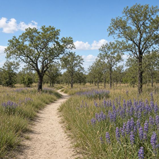 Route 2
Oak Openings & Trails
Sand dunes inland, oak savanna, rail trails and how to walk them well.
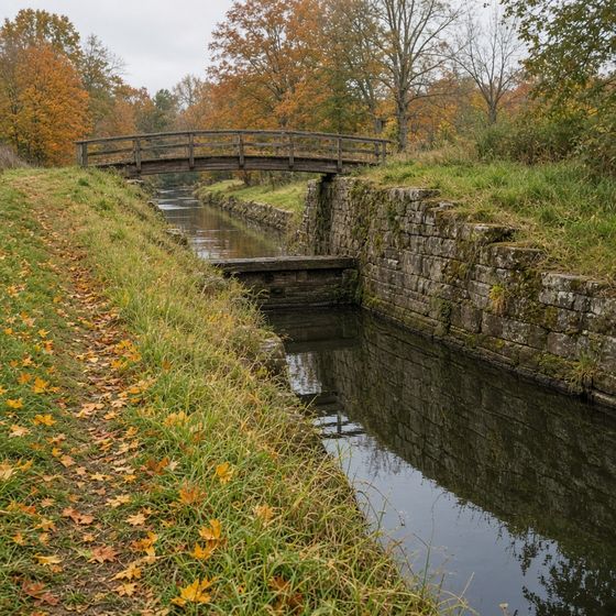 Route 3
River & Canal History
The Maumee, the 1813 forts, the Miami and Erie Canal and the Glass City.
The region in four numbers
- 62 ft
- Average depth of Lake Erie, the shallowest of the Great Lakes. The western basin off Toledo is shallower still, which is why it warms fast and freezes fast.
- 1,500 sq mi
- Roughly the area of the Great Black Swamp before it was ditched, tiled and drained into farmland during the 1800s.
- 1822
- The year Marblehead Lighthouse was first lit. It is the oldest lighthouse in continuous operation on the Great Lakes.
- 63 mi
- Approximate length of the Wabash Cannonball Trail, one of the longest rail trails in Ohio, running out of the Toledo suburbs.
When to go
Northwest Ohio rewards timing more than distance. These are the windows locals plan around.
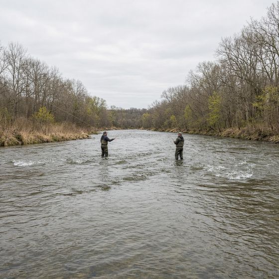
- Mar – AprWalleye runFish move up the Maumee and Sandusky rivers to spawn. Anglers line the banks; anyone 16 or older needs an Ohio fishing licence.
- Early – mid MayWarbler peakMigrating songbirds rest in the lakeshore woods before crossing the lake. Boardwalks get busy early in the day.
- Jun – AugIsland seasonFerries run to Kelleys Island and South Bass. Check water-quality advisories before swimming in late summer.
- OctSavanna colourOaks turn bronze across the Oak Openings and the canal paths are quiet and dry underfoot.
- Dec – FebIce and eaglesBald eagles gather along open water. Never walk on lake ice without current local ice reports.
Day-trip kit
Tick off what is already in the car. Flat country is easy walking, but wind off the lake, sand trails and deer flies catch people out.
0 of 8 packed
A short timeline
- After the Ice AgeRetreating glaciers leave beach ridges, sand dunes and a vast poorly drained flat: the Great Black Swamp.
- 1813Fort Meigs, on the Maumee at today’s Perrysburg, holds through two sieges during the War of 1812.
- 1822Marblehead Lighthouse is lit at the tip of the Marblehead peninsula.
- 1835 – 36Ohio and Michigan quarrel over the Toledo Strip. Ohio keeps Toledo; Michigan gets the Upper Peninsula.
- 1845The Miami and Erie Canal links Cincinnati with Toledo and Lake Erie.
- Late 1800sDrainage ditches and tile turn the swamp into some of the most productive farmland in the state; glassmaking earns Toledo the name Glass City.
Four habits of a good visitor
Read the water. Western Lake Erie can see harmful algal blooms in late summer. Follow posted beach advisories and keep dogs out of scummy water.
Stay on the boardwalk. Marsh edges and savanna plants such as wild lupine are fragile. Trails exist so everyone can keep coming back.
Give wildlife room. Use binoculars, not footsteps, for nesting birds and eagles, and never feed wildlife.
Respect private land. Much of the region is working farmland. Park only where it is allowed and close gates behind you.
Quick answers
What counts as Northwest Ohio?
Usually the counties around Toledo and the western Lake Erie shore, from the Michigan and Indiana lines east to around Sandusky Bay, including the Maumee valley and the old Black Swamp country.
Is this an official society or club?
No. NWO Society is an independent reading guide. It does not run memberships, events or tours, and it does not speak for any park, agency or organisation.
Is the region worth visiting if I do not fish or bird?
Yes. Rail trails, island ferries, lighthouses, canal towns and the Toledo museums make good trips in their own right.
Can I walk on the frozen lake?
Only with current local ice reports and proper safety gear. Lake ice shifts with wind and current, and people are rescued from drifting floes most winters.
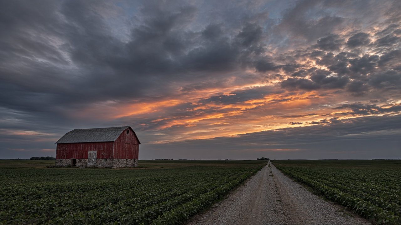
Flat land, big sky, long history
Follow the river from the forts to the canal locks.
River & canal history